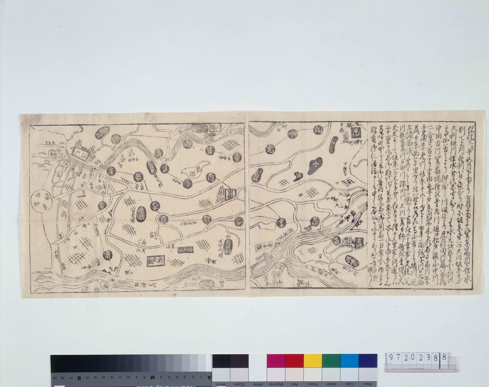
関東川筋洪水の図
Map of Flooded Rivers in Kantō


- 資料番号/Collection ID
- 97202388
- 大分類/Category
- 印刷物 / Printed Material
- 小分類/Sub Category
- 刷物 / Printed Matter
- 種別/Type
- 瓦版
- 年代
Creation Date - 江戸末期 弘化3年5月 1846 19世紀
- 員数/Number
- 1枚
- 法量/Size
- 23.0cm x 56.5cm